
- cross-posted to:
- [email protected]
- cross-posted to:
- [email protected]
You must log in or register to comment.
Killing it mq
Why can I not find this setting in my app?
deleted by creator
I was expecting it to be under settings for some reason. Thanks!
Round of applause!
W after W from MapQuest.
MapQuest seems to be the Mamdani of map apps. They just keep cranking out W after W
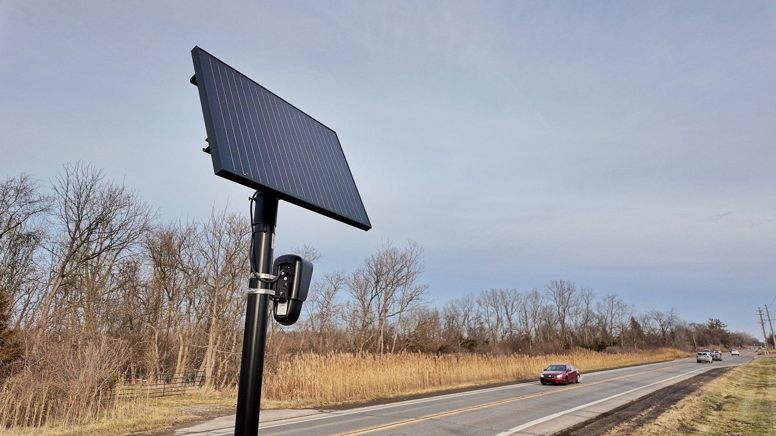
Does this include non-flock brand flock cameras?
It should, since even Deflocked identifies all ALPRs, not just Flock
Had you read the article… 😶
They’re using OpenStreetMaps, and OSM has a DB of all the major LPRs. The filter just pulls in all the surveillance cameras in OSM, and if you click on the camera you see the meta data about the reported camera type.
All of them or just the reported ones? Because someone discovered 100k+ undeclared cameras (or so they said) spread around.
‘don’t let perfect be the enemy of good’ or however that saying goes
But do still stay informed, so you know what you dont know ;)
The ones reported to OpenStreetMap.
Mapquest is basically a wrapper for OpenStreetMaps, so they kind of get this for free.
Also, all of the major flock reporting tools are built on OSM. So basically, if you use Mapquest, you will get data from DeFlock users.
Based

Waze does this in my neighborhood. All are labeled as police cameras.
Commenting to boost this.
Good for MapQuest for making statements about these things, but don’t people know about Waze already?
Nice to see some non alphabet competition though.
Yeah, I’m not giving my data to Israel and letting them surveil me instead.
Based MapQuest??
This is dope, BUT Mapquest is just a wrapper for OpenStreetMaps, and this is data that you get for free with OSM.
Also, after install, Mapquest immediately asks to start tracking your behavior for targeted marketing shit.
Mapquest probably doesn’t actually give a shit privacy or fighting authoritarians. They just want a cheap and free data set, and the cheapest thing available automatically has LPR data and doesn’t rename bodies of water to “America.”
Not everyone cares about that
Oh shit, I didn’t realize OSM had a Flock locator. Is it working as a layer in OsmAnd yet? I’ll check…
EDIT: Nope, or at least I couldn’t find it.
The data is in there. You just need an OSM client that exposes it. DeFlock, mapcomplete, Mapquest, etc.
Also not in CoMaps yet. FlockHopper works alright.
I’ve heard that said a few times but I have used both and MapQuest is infinitely more accurate and usable. I tried osm first and half the addresses I typed in couldn’t be found unless it were a major city. MapQuest I have not had that problem so they either use a different data source or they amalgamate multiple sources for more functionality.
Most likely they mirror the data from OSM and then use their own search algorithm, this is what most OSM based apps do
Can’t find this “surveillance layer”, is this a paid feature?
I wasn’t seeing on android, checked for update, sure ebough there was an update available, updated, and now it’s there.


Can you have it avoid them when navigating like some apps have for traffic or does it just show them on the map and you’re on your own?
Maybe? I’m not sure what these options for speed and red light cameras do:

Might be rolling out. It see it on iOS.
Fuck yeah dude shoutout to mapquest.
Looks like I’m going to be paying for an app possibly for the first time ever. I’ve had the free version for a while but they’ve earned my money
If enough of us get on board, maybe they can pay to fix the crashes!
Wow. Bravo mapquest team. I wish they would come on here and speak to their brand renewal.
Adding “no plate readers” routing like “avoid tolls” would be interesting. Probably impossible in some cities, but still it would be enlightening at the very least.
Looking just at my small city (100k) id say it’s nearly impossible.
You can help too!!
Check out DeFlock, and by all means, come join us on OpenStreetMap. It looks like about 400–500 cameras have been added in the last few days.
If there’s anything I can personally do to help you (yes, you, reading this) get involved with OSM – even just a pep talk – I’ll do whatever I can. There are a million different ways you can help, regardless of if you’re in Paris reading the WikiHow for heisting the Louvre or stranded in the wilderness using your last five minutes of battery to browse Lemmy.
Source: Reasonably longtime user and contributor.
Question, because I’m not finding much information on this. Supposedly we can incorporate overlays from OSM into CoMaps that shows Flock camera locations on our routes. Would you have any information on how to do this or a resource that could show me how? Thanks in advance.
I wish I did. :(
I’ve never heard anything about this. In fact, I’ve never heard of overlays on CoMaps generally. My only guess is that maybe the rumor is related to OsmAnd, which does let you create custom overlays given a URL source.
I only use CoMaps on desktop, which is to say not very often, so I’m a lot less familiar with it. Sorry!
No problem. Thanks for answering. I found something saying that it does work with CoMaps by enabling surveillance poi as a custom overlay in CoMaps and to do that you import that data from openstreetmap. You’re probably right that it was for OSMand. I will try and find out more. Thanks again for answering.
Unfortunately I really wouldn’t trust the numbers on new cameras. In my area most are already mapped and there’s a steady stream of misidentified cameras being added. Stuff like DOT and traffic light cameras.
I think the new companies that are like Flock, but not Flock, are starting to incorporate all the cameras. Those are probably in the Flock system.
Unfortunately with that now including traffic cams they are impossible to avoid. I couldn’t even make it to a gas station without going through 3 intersections