
Why do we regularly update our map files? Because thanks to thousands of OpenStreetMap editors, the maps are constantly getting better, like seen here. Do you contribute to OSM? Then show us some of your own favorite before/after map images in CoMaps!
And if you don’t have any before/after images at hand: You still got some days to map before we start the next map generation 😉
#OpenStreetMap
You must log in or register to comment.
Late to the party but before:

After:

I now want to save screenshots of Comaps after bigger changes so I can show off 😃 I hope this becomes a tradition and will continue
yes, we hope to do that a bit more regularly going forward!
no before/after pics, but my contribs have mostly amounted to:
- an arby’s location closed suddenly
- a kfc/taco bell on the same street is now a little caesar’s
- this one applied much quicker than the arby’s one for some reason
As a fairly longtime OSM user and someone with hundreds of contributions: thank you!!!
The project couldn’t function without contributors like you who keep the map timely.
I wish I had a before and after picture of my city. I mapped 95% of it over a few years.
You might be able to find websites who have implemented their own tile server and not maintained them. Here’s one example via a Reddit post, but it’s not ancient.
Obviously this isn’t any good for the CoMaps comparison screenshots.
NGL the only thing that could make these maps useful for me would be Current Bus Routes, and good luck because in some municipalities not even the city’s official websites are up to date and for some reason only Google Maps and Apple Maps are capable of telling when buses and trams actually arrive.
If somebody knows how to fix that please let me know.
EDIT:
Step 1: Find the GTFS data
Step 2: ???
Step 3: Profit
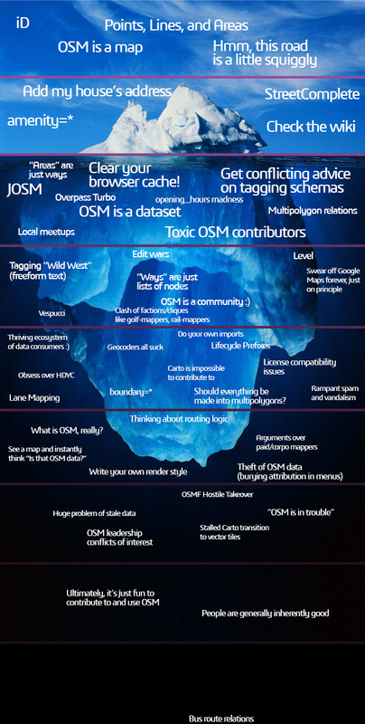
Reminds me of this picture (TLDR check the bottom)
This one is just some added details to a community pool.

In this one, a municipal airport wasn’t showing up on maps because it’s boundary relation was no longer closed. I traced the fence surrounding the airport and used that as the boundary.